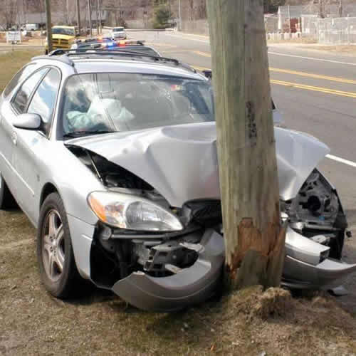
kMACHO is an application system that allows a user to collect geographical location specific information, take images/photographs that could be used for monitoring and management of resources/incidents.
It integrates a cloud database to allow easy access and centralized storage of all required information for monitoring and relaying the information for decision - making and management purposes
The system is mainly comprised of two components:
These two components work together and are harmonized/linked through the internet.
Accidents reporting needs Geographical location, time and evidence.
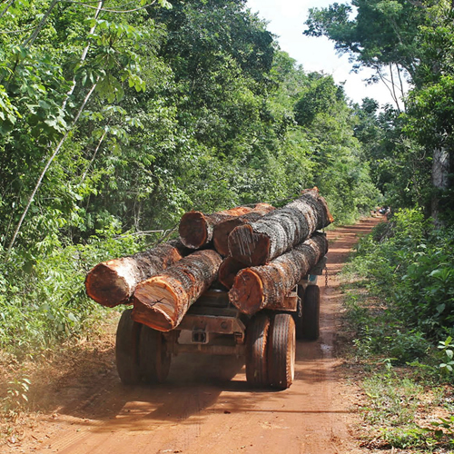
Report illegal logging through pictures, text and exact geographical location. Useful for government and community forest resources management.
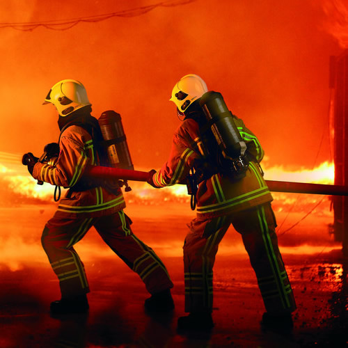
Reporting fires when they happen.
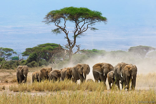
Use of Geo-referenced information to report poaching
OUR ADDRESS
Please contact us on:+254 721 471082
P.O. BOX 72335 - 00200, NAIROBI. HARAMBEE AVENUE.